
News
Tinubu’s Govt Moves To Remap Nigeria After 50 Years Of Non-Decision


The President Bola Tinubu-led government is set to embark on a nationwide remapping for the first time in over five decades to strengthen national planning, improve infrastructure delivery, and enhance good governance.
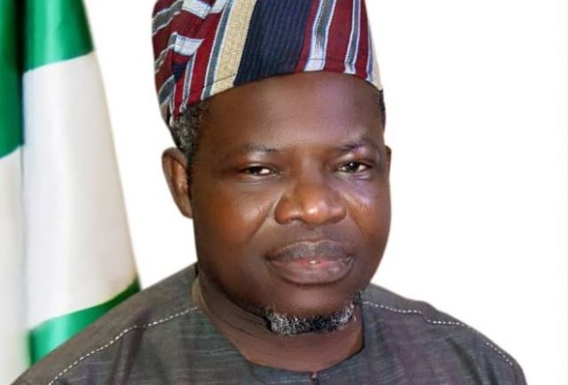
The Surveyor-General of the Federation (SGOF), Abduganiyu Adeyemi Adebomehin, who disclosed this in an exclusive interview following his recent two-year tenure extension, said the initiative is one of his top priorities as he continues to lead the Office of the Surveyor-General of the Federation (OSGOF).
He said the new exercise will bring Nigeria in line with the United Nations’ recommendation that all cities of the world should be periodically remapped to reflect development changes and population growth.
Adebomehin explained that the mapping project will directly support President Bola Tinubu’s Renewed Hope Agenda by providing accurate, data-driven insights to guide investment decisions, urban development, and infrastructure planning.
He said up-to-date geospatial data is the foundation of sustainable development and that the project would reposition OSGOF as a central player in Nigeria’s development process.
According to him, the National Geospatial Data Infrastructure (NGDI) will serve as the backbone of the remapping effort. The NGDI, he said, will act as a central digital repository where information such as the location of schools, hospitals, markets, farms, and industrial sites across the country can be stored and accessed easily by government agencies, private sector players, and researchers.
The Surveyor-General noted that Nigeria’s last comprehensive mapping exercise was carried out in the 1970s and that the country’s physical landscape has changed drastically since then due to rapid urbanization, population expansion, and new infrastructure development.
He maintained that remapping will not only capture these changes but also help define national and international boundaries more accurately, particularly with neighbouring countries such as Cameroon, Benin Republic, and Niger.
He emphasised that the mapping project would rely on modern geospatial technologies and digital systems to ensure accuracy and accessibility. According to him, mapping remains the foundation of every form of development because it informs policy design, infrastructure delivery, environmental management, and security operations.
Credit: thenationonlineng.net


-

 Society News5 years ago
Jamaican man beheads wife after finding out their 6 kids are not his
-
 Society News7 years ago
EXCLUSIVE: The Complete Story of Dolapo Awosika, John Fashanu and Prophet Kasali Sex Mess
-

 News6 years ago
Pastor Osagie Ize-Iyamu, His Membership Of Secret Cult, And Other Issues Touching On His Public Credentials Examined by Barr. PATRICK I. BIOSE
-

 News6 years ago
BREAKING: Ajimobi’s daughter-in-law blast Gov. Makinde, says gov can’t surpass ex-Oyo gov
-

 Society News6 years ago
The Rise and Fall of “Jumoke The Bread Seller”
-

 News6 years ago
BREAKING: 2 arrested as NAF begins investigations into Tolulope’s death
-

 Crime6 years ago
Exclusive: Female Aide Fingered In Oko Oloyun’s Murder + Banking Transactions That Nailed Husband
-

 News6 years ago
BREAKING: Police take over Edo House of Assembly as APC, Oshiomhole move to seize control


You must be logged in to post a comment Login